top of page


View Records That Fall Within a Set Radius of Specific Location
Pass in a target location and find all locations in your application that are surrounding it within a specified radius (in miles). This feature is most commonly used to:
-
Assess the competitive landscape surrounding certain one/may business locations.
-
Identify properties that fit into the geographical criteria of potential buyers/investors.
.png)
.png)
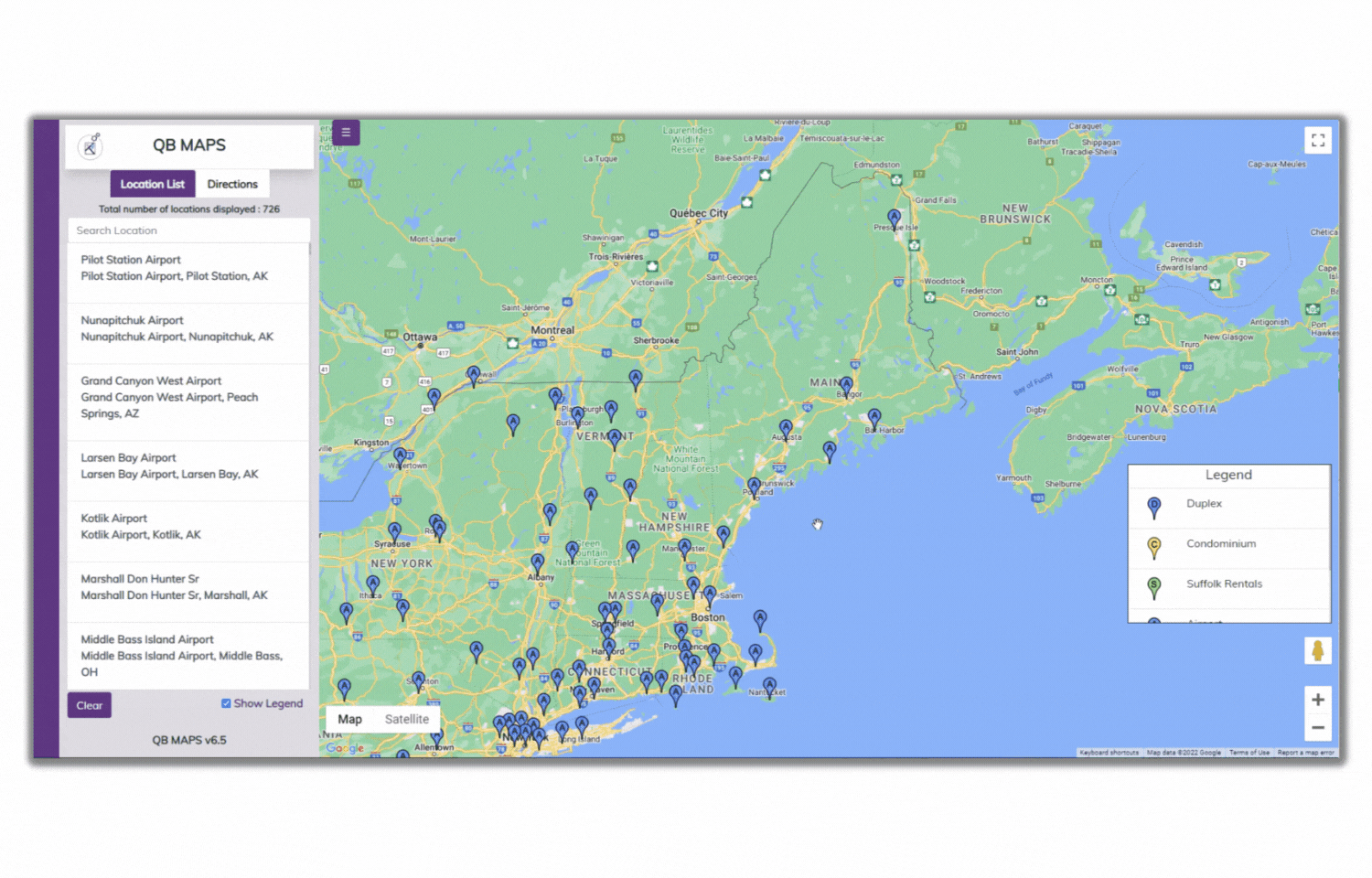
Customizable Push Pins
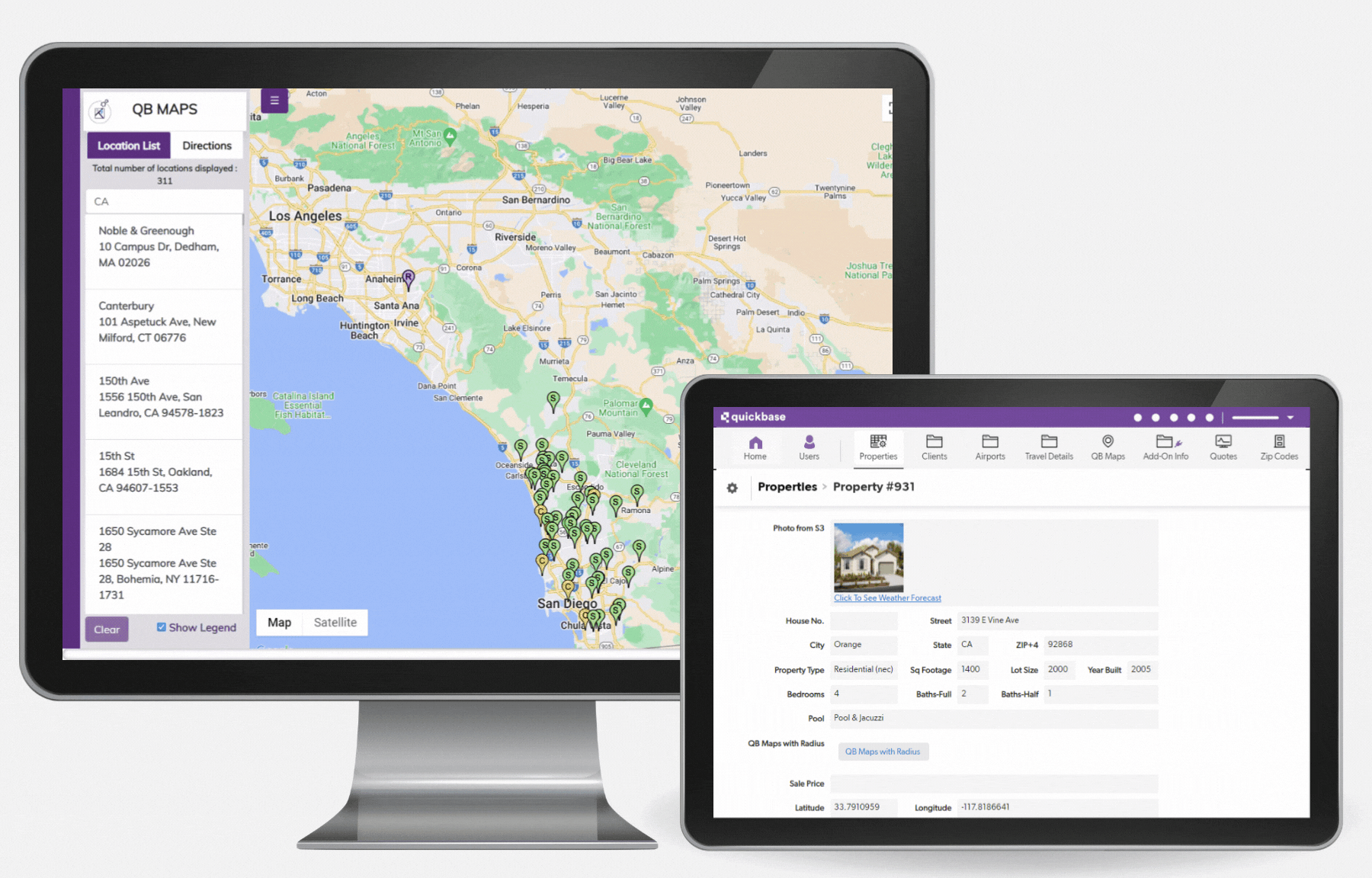
Click push pins in the map to view fields of your choice from the location's record in your Quickbase application.
Get Directions to One or Many Locations From Your Application
Get directions between two location records, or enable the multi-select tool and choose every location you need to hit on a given route. QB Maps will automatically provide you with the fastest route possible to hit every stop needed.


.png)
bottom of page